Across the vast mountainous and canyon regions of China, numerous high-voltage and ultra-high-voltage (UHV) transmission lines traverse mountains and ridges, serving as the vital arteries of energy transmission. Traditional optical UAV and laser inspections are easily obstructed by mountain fog, rain, and dense vegetation. Many hidden geological hazards and tower foundation deformations are difficult to identify in advance based solely on visible-light imagery. Manual on-foot inspections in mountainous areas are not only time-consuming and high-risk but also leave numerous blind spots, remaining a persistent challenge in power grid operation and maintenance for years.
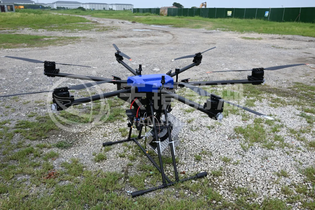
As the Suzhou Tianjing Yunhu team, specializing in the R&D and flight services of airborne SAR radar, we have been continuously dedicated to remote sensing monitoring scenarios for power infrastructure. We bring our independently developed airborne SAR payloads to complex mountainous transmission corridors, using active microwave sensing capabilities to compensate for the shortcomings of traditional inspection methods, and providing an all-weather, highly reliable monitoring solution for power grid operation and maintenance.
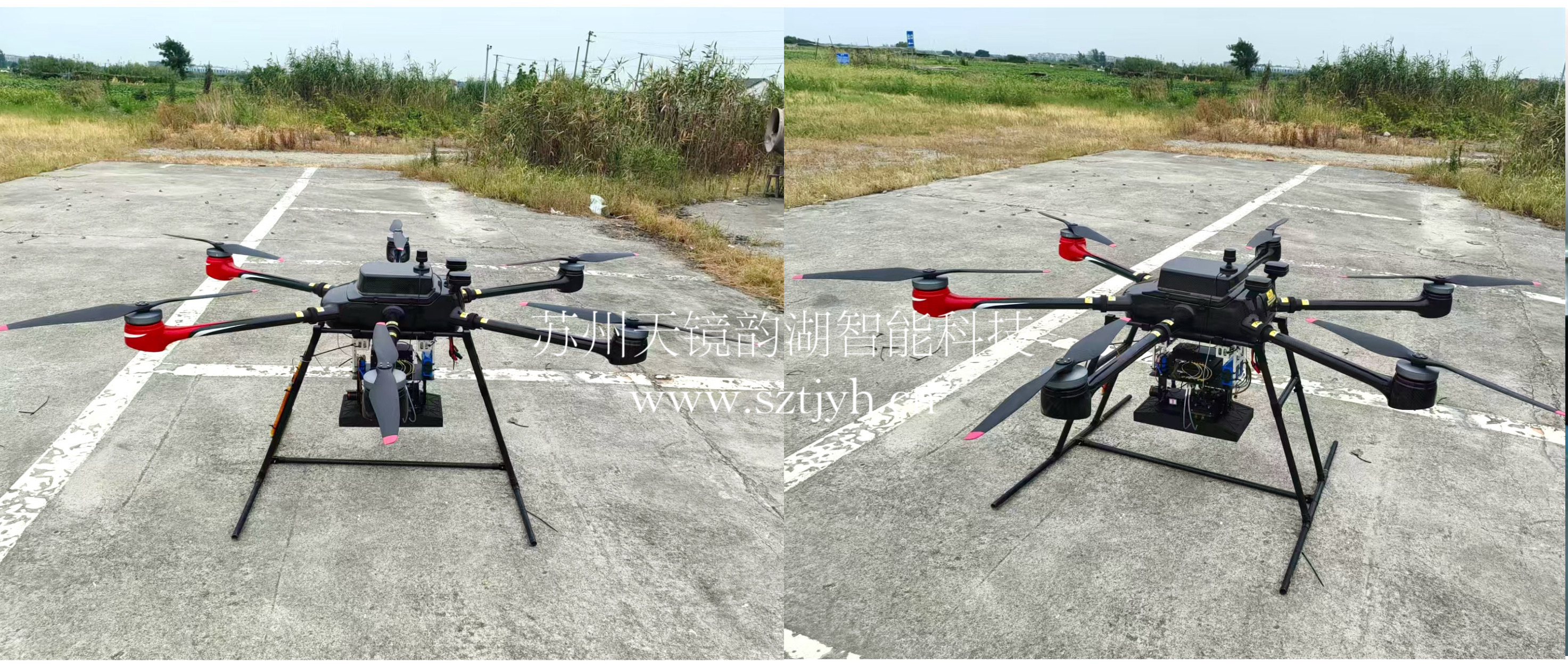
Airborne SAR System
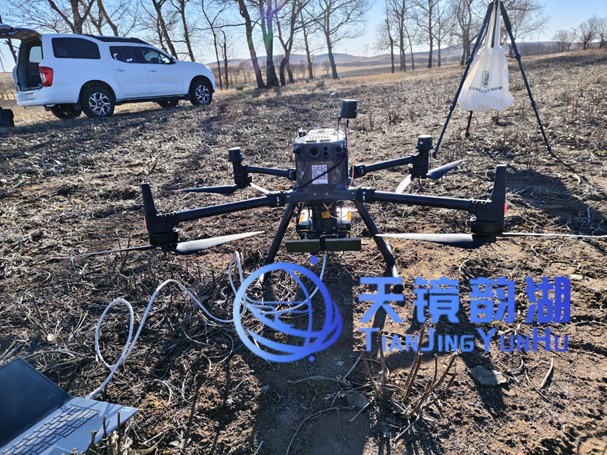
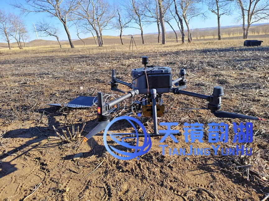
On-site Test
The Zhangjiakou, Hebei power line inspection project utilized a DJI multi-rotor UAV equipped with an X-band airborne MiniSAR system for flight testing. The weather conditions on the day of the test were generally favorable, with temperatures ranging from 4°C to 7°C and a wind force of level 5. Although the conditions were not mild, they did not materially affect flight operations, and the test proceeded as scheduled.
Taking off under such meteorological conditions was in itself a field test of the system's environmental adaptability. The low temperatures tested the equipment's startup and stable operation capabilities, while the level-5 wind tested the UAV platform's trajectory retention and imaging quality under turbulent conditions. Actual operations showed that the platform took off and landed normally and the system operated stably. The test was not interrupted for any reason throughout the entire process, providing reliable assurance for subsequent data acquisition and result analysis.
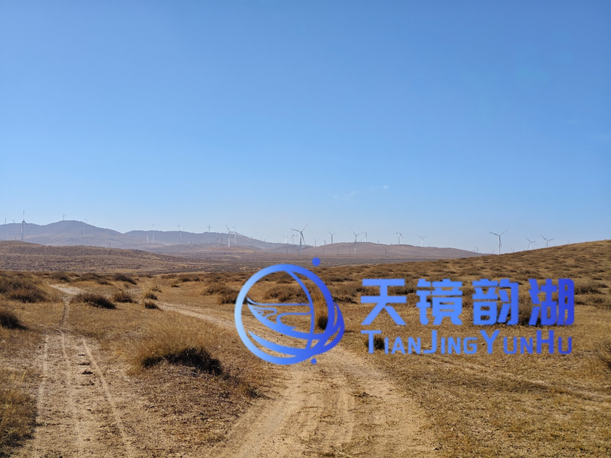
On-site Environment
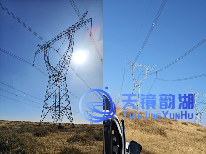
On-site Environment
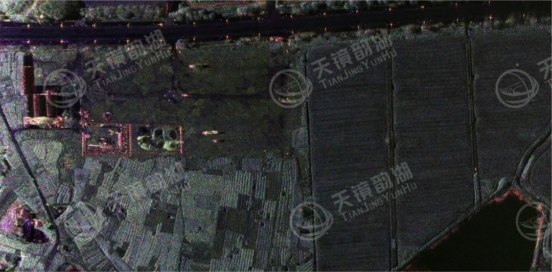
The image below shows the imaging results of the transmission line corridor captured by the airborne SAR. In the image, the tower bases appear as regularly distributed strong reflection bright spots, and the conductors between the towers appear as continuous bright lines, making the line routing and tower positions clearly distinguishable. Ground features such as roads near the corridor are well-layered and clearly contrasted with the power facilities. No broken lines, collapsed towers, or obvious deformations were found within the imaging coverage, demonstrating its applicability for identifying corridor hazards such as tree barriers and illegal construction.
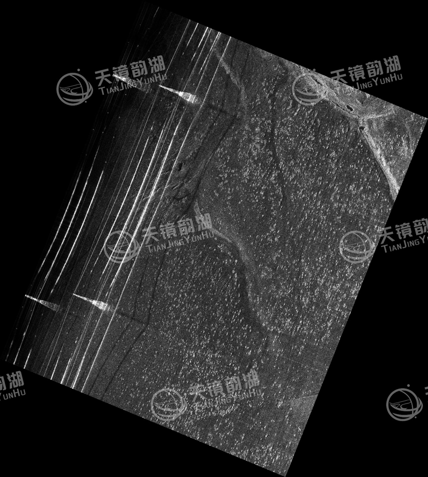
X-band Imaging Results
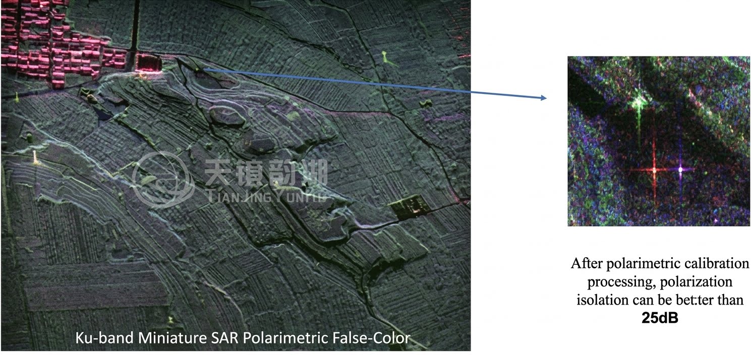
Based on the aforementioned SAR amplitude and polarization characteristics, the all-weather, all-time inspection capability can be further expanded: line inspection can be upgraded from manual operations to routine automated inspections, significantly improving efficiency and reducing costs. Inspectors no longer need to venture into high-altitude and hazardous areas, effectively mitigating safety risks. The advantages are mainly reflected in four aspects:
-
All-weather and all-time operation, unconstrained by illumination and weather conditions. This is the most fundamental advantage of SAR. Optical and infrared methods often struggle to "see clearly or see at all" in rainy, cloudy, or nighttime conditions. In contrast, SAR uses active microwave imaging to penetrate clouds, rain, and haze, acquiring data normally under severe weather conditions. For power line inspection, this means that in scenarios where traditional methods fail—such as winter snowfall, post-rain fog, and nighttime emergencies—SAR can still output usable imagery.
-
Penetrating capability to reveal line conditions obscured by vegetation. Transmission lines frequently traverse forest areas, and optical equipment can only see the canopy, not the conductors and towers beneath it. SAR microwave signals have a certain degree of penetrability, enabling them to penetrate the canopy layer, measure tree heights and their safe distances from conductors, predict tree-barrier risks, and identify defects on the line body itself in densely vegetated areas. This capability is particularly critical for line inspection in mountainous and forested regions.
-
Quantitative measurement to support deformation and geometric parameter inversion. SAR acquires not only "images" but also echo data containing phase information. Through interferometric processing, it can monitor minute deformations of towers and lines, providing early warnings for geological risks such as landslides and subsidence. Through high-resolution imaging, it can invert geometric parameters such as conductor sag, offering greater advantages in refined monitoring.
-
Flexible adaptation to UAV platforms, featuring fast response and versatile coverage methods. Airborne SAR can be mounted on multi-rotor or fixed-wing UAVs, and the flight route, altitude, and speed can be adjusted in real time according to mission requirements, enabling it to reach complex terrains such as deep mountains, canyons, and dense urban areas that satellites can hardly cover precisely. In routine inspections, it can continuously cover the entire line corridor along flight segments, realizing the transition from "periodic spot checks" to "routine comprehensive inspections."
Going forward, the Tianjing Yunhu team will continue to optimize the algorithms and operational solutions of airborne SAR for power scenarios, iterating continuously on directions such as icing monitoring, conductor sag monitoring, and corridor obstacle identification. We will apply the technical advantages of cloud-penetrating, all-weather sensing to more transmission lines, safeguarding the security of power corridors with stable and reliable radar remote sensing data!