

News and Resources
Company News
 Home
2026.09.08
Tianjing Yunhu | Miniature SAR: Lightweight, Low-cost, Multi-mode
Compared to optical and infrared sensors, synthetic aperture radar (SAR) has a deeper advantage in preserving phase information, possessing interferometric (InSAR) capabilities that optical and infrared sensors cannot match. This allows it to extract millimeter-level surface deformation signals from two or more images, enabling precise monitoring and early warning of disasters such as earthquakes, landslides, and subsidence. In complex battlefield environments or extreme natural conditions, when optical and infrared methods are "invisible" or "unclear," synthetic aperture radar (SAR) remains a reliable pillar that can "see, distinguish, and measure accurately," and is an indispensable core node in building an integrated air-space-ground perception system.
2026.09.05
Tianjing Yunhu | YunInsar System: An "All-Round Performer" in Remote Sensing
With the deepening of the Western Development Strategy, Sustainable Development Strategy, and Energy Resource Strategy, coupled with the implementation of major projects such as the National Western Mapping Project and the National Land Survey, my country's demand for SAR remote sensing data is becoming increasingly urgent. Especially in the field of disaster emergency monitoring, there is an urgent need to leverage the advantages of airborne SAR systems—their mobility, high resolution, and high precision—to enhance the nation's emergency response capabilities. Currently, airborne SAR mapping systems are capable of producing large-scale DEM, DOM, and land cover data products, and are widely used in topographic mapping, emergency response, resource surveys, major engineering monitoring, and national defense security.

2026.09.02
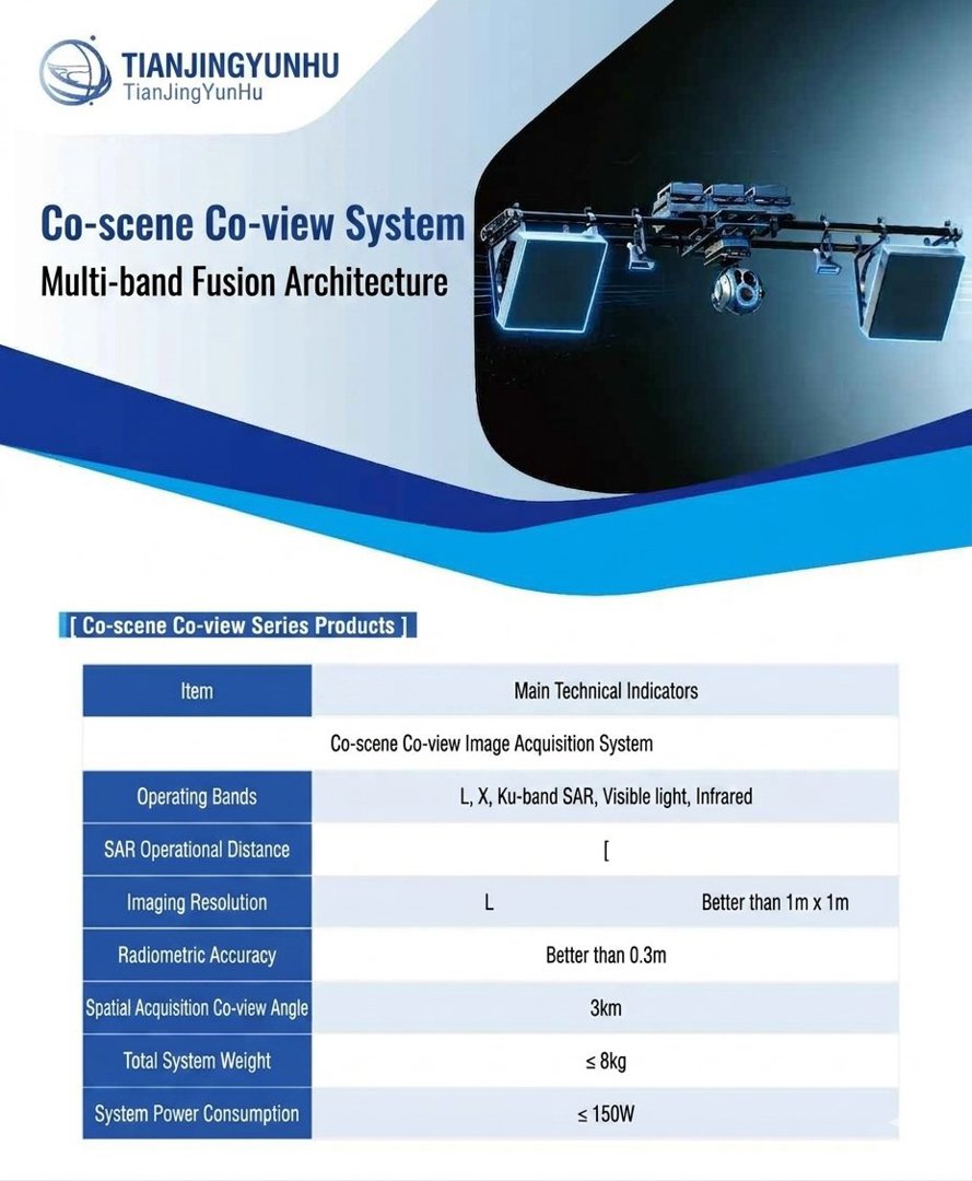
Tianjing Yunhu | Multi-source fusion system for lightweight SAR
Single sensors always have blind spots: optical cameras are almost "blind" in clouds, fog, and darkness; infrared thermal imaging, while penetrating the night, cannot identify color and texture details; SAR, though versatile in all weather conditions, lacks color information in its microwave images, making them difficult for ordinary people to interpret intuitively. Only when these three types of data come from the same time and the same scene, with temporal alignment eliminating positional deviations of dynamic targets and spatial overlap ensuring image registration accuracy, can target detection accuracy achieve a qualitative leap. However, in the past, acquiring these three types of data often required multiple flights, multiple sets of equipment, and multiple processing steps—time-consuming, labor-intensive, and costly. To address this pain point, Tianjing Yunhu has developed a multi-source imaging system integrating SAR, optics, and infrared, making "one flight, three perspectives" a reality.
2026.08.28
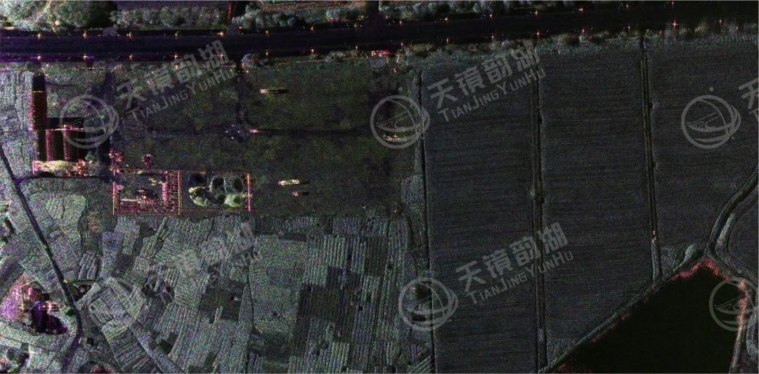
Tianjing Yunhu | MiniSAR: Full Polarimetric Imaging Capability
In the field of remote sensing today, synthetic aperture radar (SAR), visible light, and infrared together form a multi-layered observation system. Visible light remote sensing is intuitive and clear, while infrared remote sensing excels at thermal sensing. However, both are passive detection methods, heavily reliant on sunlight or the target's own thermal radiation. Once they encounter cloud cover, nightfall, or rainy/foggy weather, their detection capabilities are significantly reduced or even completely lost.
2026.08.26
Tianjing Yunhu | P-band Airborne SAR Radar System
Low-frequency radars (such as P-band and L-band radars) can "see farther and see more clearly" because of their longer wavelengths, lower attenuation, and reduced sensitivity to stealth coatings. In modern air defense systems, they are key to anti-stealth radars. They can penetrate 1-meter-thick camouflage netting and 3-meter-thick bushes to identify hidden tanks and radar stations, and are less likely to trigger enemy warning systems, demonstrating significant advantages in covert detection.
2026.08.21
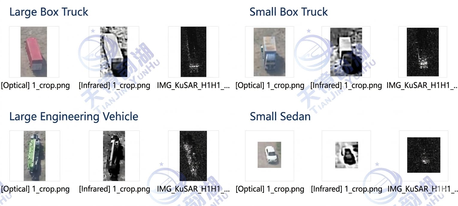
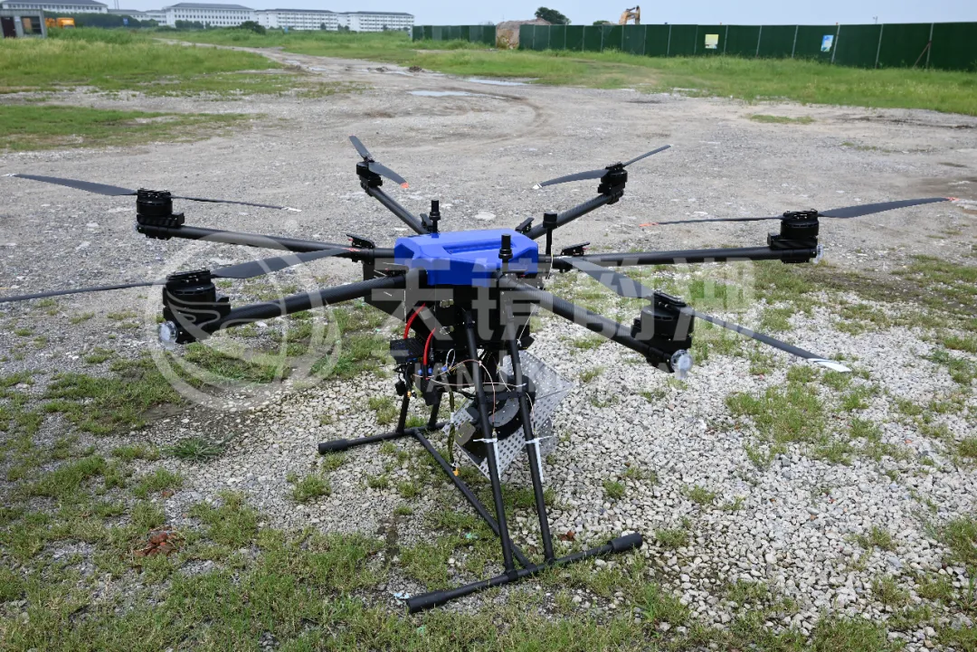
Tianjing Yunhu | Miniature SAR Vehicle Target Dataset
Synthetic Aperture Radar (SAR) target detection datasets are a core foundation for training and evaluating deep learning models. These datasets cover various target types, including ships, aircraft, vehicles, bridges, and oil tanks, and are applicable to multiple fields such as military reconnaissance, maritime monitoring, and traffic management. They not only provide high-resolution SAR images but also contain precise annotation information (category, location, size, etc.), ensuring improved algorithm performance.