

News and Resources
Company News
 Home
2026.04.02
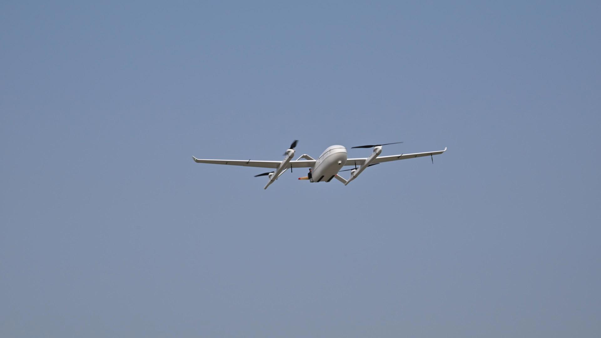
Tianjing Yunhu | Pulse-based X-band SAR successfully completed test flight, leading the industry in high-precision remote sensing technology.
Tianjing Yunhu Pulse-based X-band SAR successfully completed test flight, setting a new industry standard for high-precision remote sensing technology.
2026.04.01
Tianjing Yunhu | A leader in micro SAR technology, defining the boundaries of industry perception.
In the field of synthetic aperture radar (SAR) technology, Tianjing Yunhu is a high-tech benchmark enterprise that has been deeply involved in the core field. With micro SAR technology as its core, it provides full-chain solution services for various industries and breaks through the limitations of traditional perception with cutting-edge technology.

2026.03.25
Tianjing Yunhu | Frequency Band Characteristics Determine Imaging Performance: Analysis of Imaging Effects and Selection of Airborne SAR Payloads in X/C/Ku/Ka Bands
Synthetic Aperture Radar (SAR), as a core technology of active microwave remote sensing, overcomes the limitations of optical remote sensing caused by illumination, clouds, fog, rain, and snow, enabling all-weather, 24/7 Earth observation. It plays an irreplaceable role in fields such as land surveying, disaster monitoring, military reconnaissance, marine surveillance, and agricultural and forestry resource surveys. The selection of the operating frequency band for SAR payloads is a core element determining the system's imaging resolution, ground feature identification capability, environmental adaptability, and penetration performance, directly defining the application boundaries and technological advantages of the equipment.
2026.03.20
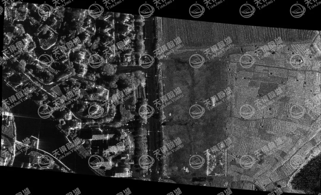
Tianjing Yunhu | Unmanned Aerial Vehicle-borne Synthetic Aperture Radar (SAR): A Revolutionary Solution for Crop Lodging Monitoring
Lodging is one of the major disasters restricting the stable and high yields of major grain crops such as corn and wheat. Extreme weather such as strong winds and torrential rains can easily cause root and stem lodging, directly resulting in reduced yields, decreased quality, and significantly increased harvesting and compensation costs. Traditional manual inspections are inefficient, and optical remote sensing depends on sunlight and weather conditions, making it difficult to meet the needs for rapid, accurate, and all-weather monitoring after disasters.
2026.03.17
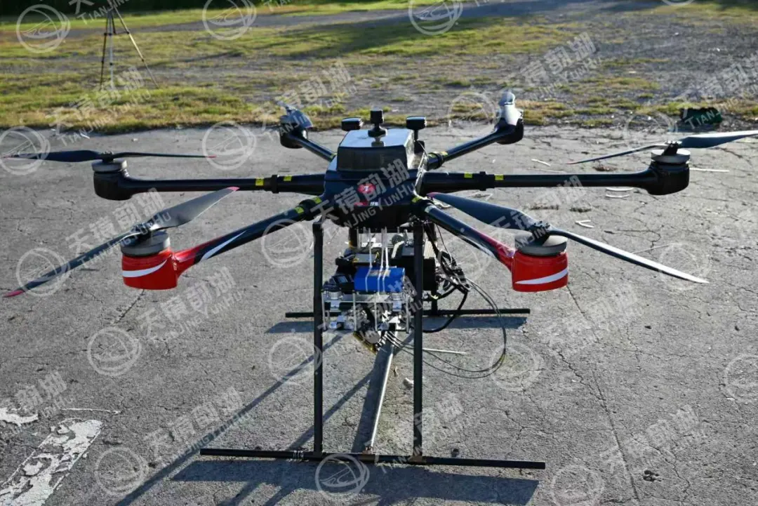
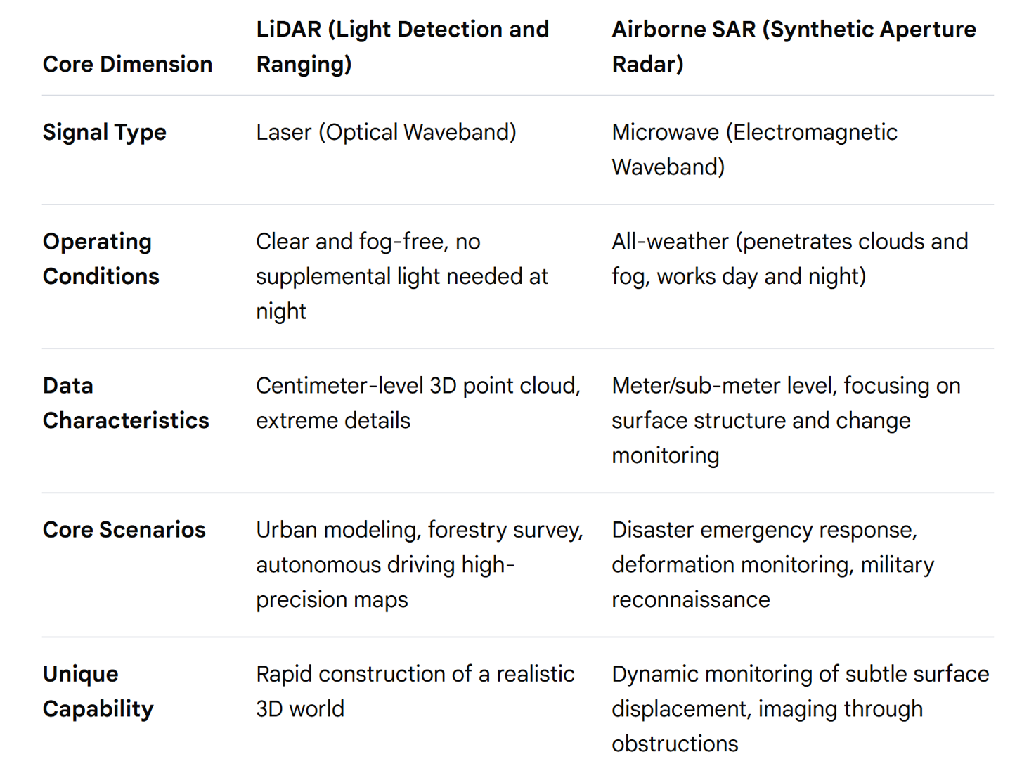
Tianjing Yunhu | Emergency Rescue: SAR and LiDAR Collaborative Operations
SAR uses microwaves to "observe changes and measure dynamics," while LiDAR uses lasers to "measure shapes and determine locations." One is static and the other is dynamic; one is coarse and the other is precise, forming a complete closed loop of emergency remote sensing capabilities.
2026.03.12
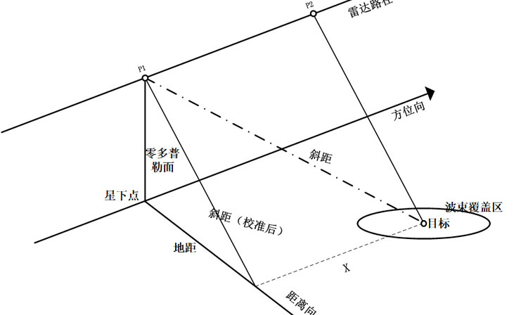
Tianjing Yunhu | Micro SAR: What are SAR and ISAR?
合成孔径雷达(Synthetic Aperture Radar, SAR)和逆合成孔径雷达(Inverse Synthetic Aperture Radar, ISAR)是两种先进的雷达技术,它们在成像原理、应用场景和目标特性等方面存在显著差异。